RV Route Guide
Sea-to-Sky Highway RV Route: Vancouver to Whistler, Pemberton & Lillooet
Route overview
Highway 99 runs from the Vancouver area north along Howe Sound, past Squamish and Whistler, and on through the Pemberton Valley.
North of Pemberton the road changes character: it becomes a quieter, more demanding mountain route over the Duffey Lake Road to Lillooet.
The guide is split into four driving sections, each with campgrounds, stops, resupply and practical RV notes.
Route sections
Section 1
Vancouver → Squamish
Route basics
- Start: Vancouver / North Shore. Destination: Squamish, at the head of Howe Sound.
- Highway 99 follows the Howe Sound shoreline — roughly 65 km, about an hour of driving without stops (approximate, traffic can add a lot more).
Before you leave Vancouver
- Fuel up.
- Stock up on groceries.
- Confirm campground plans — this corridor is busy in summer.
- Check traffic before leaving the city.
- Check the weather.
Along Howe Sound
Past Horseshoe Bay the highway hugs the steep shoreline of Howe Sound, with water on one side and mountains on the other.
Horseshoe Bay
The ferry terminal village where the Sea-to-Sky Highway really begins.
Porteau Cove
A waterfront provincial park right on Howe Sound, with a popular campground.
Britannia Beach
Home of the Britannia Mine Museum, a well-known stop on BC's mining history.
Shannon Falls
A tall waterfall a short walk from a roadside provincial park just south of Squamish.
Sea to Sky Gondola
A gondola up to mountain-top viewpoints over Howe Sound, across the highway from Shannon Falls.
Road and RV notes
- Expect urban traffic leaving Vancouver.
- The highway can be busy, especially on summer and holiday weekends.
- Curves and grades are part of this corridor.
- Weather near Howe Sound can vary quickly.
- Larger RVs should avoid impulsive roadside pull-offs unless access is clearly suitable.
Squamish
Outdoor town at the head of Howe Sound.
Why stay
- Squamish is a full-service town with groceries, fuel and supplies — a practical base for the corridor.
- It's known for outdoor recreation, with the granite Stawamus Chief rising right beside town.
- Plenty of campground options in and around town.
Things to do
Stawamus Chief
A famous climbing and hiking landmark. Hiking trails lead to viewpoints over Howe Sound.
Waterfront and estuary
Walking trails along the Squamish estuary and waterfront.
Hiking and biking
Trails for all levels in and around town.
Campgrounds along this section
A few places to start. Open any listing for hookups, rates, seasons and contact details.
Fuel & resupply
Vancouver
Every service you need — the easiest place to fuel, shop and handle repairs.
Squamish
Fuel, full groceries and general supplies.
RV services
Vancouver and Squamish are strong service areas for repairs, parts and maintenance.
Section 2
Squamish → Whistler
Route basics
- Start: Squamish. Destination: Whistler.
- The highway climbs inland through forest and mountain valleys — roughly 60 km, about 45 minutes to an hour of driving without stops (approximate).
Whistler
Mountain resort village and year-round playground.
Why stay
- A world-famous resort with dining, shopping and activities in every season.
- Groceries, fuel and services are available.
- Very busy in peak seasons — plan RV parking and camping ahead.
Things to do
Whistler Village
Pedestrian village with shops, restaurants and events. Use transit or trails from your campground where possible.
Lost Lake
A forested lake close to the village with trails and swimming.
Gondolas
Summer and winter gondola rides, including the Peak 2 Peak between Whistler and Blackcomb mountains.
Biking and hiking
The Valley Trail, lift-access mountain biking and alpine hikes.
Into the mountains
North of Squamish the road leaves the coast and climbs toward Whistler.
Brandywine Falls
A provincial park with a short walk to a viewpoint over a tall waterfall, just south of Whistler.
Whistler
The resort village and the largest service centre on this section.
Road and RV notes
- Whistler can be busy, and parking is limited in some areas.
- Large RVs should use a campground or base location rather than expecting easy village parking.
- Book ahead in peak summer and winter seasons.
- Mountain weather can change quickly.
Campgrounds along this section
A few places to start. Open any listing for hookups, rates, seasons and contact details.
Fuel & resupply
Whistler
Fuel, groceries and general supplies. Expect resort prices and busy parking lots.
RV services
Squamish and Whistler are the better places on this section to deal with repairs or parts.
Section 3
Whistler → Pemberton
Route basics
- Start: Whistler. Destination: Pemberton.
- A shorter transition into a quieter, rural valley — roughly 35 km, about 30 minutes of driving without stops (approximate).
Pemberton
A quieter alternative to Whistler.
Why stay
- A small valley town with groceries, fuel and supplies.
- A good base for nearby lakes, trails, biking and scenic drives.
- The last stronger service point before the road becomes more remote toward Lillooet.
Things to do
Pemberton Valley
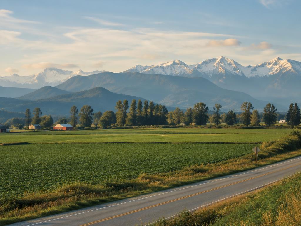
Scenic drives through farm country, with mountains on every side.
Trails and biking
Hiking and mountain-bike trails around town.
Nearby lakes
Lakes and rivers within a short drive.
North of Whistler
Past Green Lake the highway drops into the broad, farmed Pemberton Valley.
Green Lake
A long lake on Whistler's north side, with views from the highway.
Nairn Falls
A provincial park with a riverside campground and a trail to a waterfall.
Pemberton Valley
Farmland and mountain views — a quieter feel than Whistler.
Campgrounds along this section
A few places to start. Open any listing for hookups, rates, seasons and contact details.
Fuel & resupply
Pemberton
Fuel, groceries and basic supplies — the last stronger service point before Lillooet.
RV services
Service options become more limited north of Pemberton. Handle mechanical issues before continuing toward Lillooet where possible.
Section 4
Pemberton → Lillooet
Route basics
- Start: Pemberton. Destination: Lillooet, on the Fraser River.
- Highway 99 continues as the Duffey Lake Road — roughly 100 km, around 1½–2 hours of driving without stops (approximate).
- This stretch is more remote and different in character from Vancouver → Whistler. Allow extra time.
Lillooet
A Fraser River town to regroup after the mountains.
Why stay
- Fuel, groceries and services after the mountain section.
- Dramatic Fraser River scenery and a warm, dry setting.
- Historic and cultural interest, including St'át'imc Nation heritage.
Things to do
Lillooet Museum & Visitor Centre
Local history and travel information. Check current hours.
Bridge of the 23 Camels
A bridge over the Fraser River named for the camels once used to haul gold-rush supplies.
Seton Lake viewpoints
Viewpoints over Seton Lake, just west of town.
Walks along the Fraser
Riverside walking and viewpoints around town.
Over the Duffey Lake Road
Beyond Mount Currie the highway climbs into the Coast Mountains, past alpine lakes, before descending into the dry Fraser Canyon country around Lillooet.
Mount Currie
A Lil'wat Nation community just east of Pemberton, where the climb begins.
Lillooet Lake
A long lake near the start of the climb, with small recreation sites along its shore.
Joffre Lakes area
A very popular provincial park trailhead. Access, parking and reservation rules may change — check current BC Parks information before planning a stop.
Duffey Lake
A scenic mountain lake beside the highway. Large-RV roadside parking isn't guaranteed.
Cayoosh Creek
The highway follows the creek as it drops toward Lillooet.
Fuel Planning
- Leave Vancouver, Squamish, Whistler or Pemberton adequately fuelled.
- Services thin out north of Pemberton.
- Do not assume every small map-listed stop has reliable fuel.
- Pemberton and Lillooet are the main resupply points for this section.
Duffey Lake Road — Practical RV Notes
- This is a mountain highway with significant elevation changes and plenty of curves.
- Weather can change quickly, especially at higher elevations.
- Services are limited, and cell coverage is limited in places.
- Plan fuel before you start.
- Check current road conditions on DriveBC before leaving.
- Larger RVs should consider vehicle size, towing setup, driver comfort, weather and current road conditions before choosing this section.
- Take your time and use suitable pullouts where available to let traffic pass.
Campgrounds along this section
A few places to start. Open any listing for hookups, rates, seasons and contact details.
Fuel & resupply
Pemberton
Leave fully fuelled and stocked.
Lillooet
Fuel, groceries and basic supplies at the end of the mountain section.
RV services
Service options are limited north of Pemberton. Handle mechanical issues before entering the Duffey Lake section where possible.
Route complete
You've completed the BC by RV Sea-to-Sky route. From Lillooet, Highway 99 continues to meet Highway 97 north of Cache Creek.